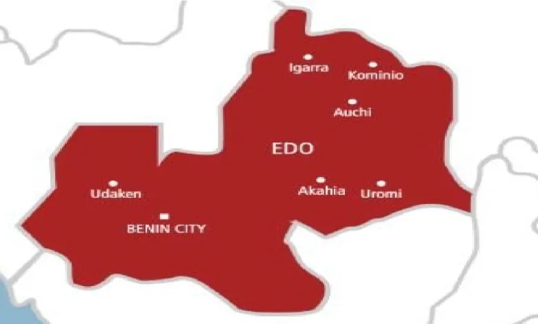
Edo State was one of the first in Nigeria to undertake a comprehensive geospatial mapping of the State, leading to the development of a Geographic Information System (GIS) and a digital database for land coordinates, which significantly improved land titling and documentation across the State.
But that system has now collapsed because the ICT experts responsible for managing the database and the entire system have pulled out of the service of Edo State due to the refusal of Senator Monday Okpebholo-led state government to pay them the outstanding debts owed.
According to sources within the government circle, the debts are said to be running to over 3 billion naira.
His Excellency, Godwin Obaseki, during his term as governor, undertook the geospatial mapping of Edo State, engaging survey experts to conduct aerial surveys and produce detailed maps, which enabled the State to establish a Geographic Information System (GIS).
Following this nuanced effort, Edo had one of the most advanced GIS platforms in the country, allowing for the efficient issuance of land titles. With the system, Obaseki, issued over 30,000 Certificates of Occupancy (C-of-Os) in eight years, which was two to three times the total number issued since the state’s creation in 1991.
But that progress now seems to be reversed with the new development under the Senator Monday Okpebholo-led government as the entire system has been rendered nonfunctional.
As a matter of fact, since the governor took office, he is said to have stopped paying these ICT experts who have now been forced to pull out of the service, leading to the total collapse of the system.
As we speak, all Certificates of Occupancy (C-of-Os) in the possession of residents across the State have become mere pieces of paper as there is no database against which the coordinates specified in the C-of-O can be verified.
The State is also said to be facing serious revenue loss as a result of the collapse because anyone who goes to the Edo GIS Office to make payments or conduct any charting of coordinates or any other geographical information service cannot do so as they are unable to make payments, raise memos, or generate receipts because the system has collapsed.
Property owners with legal titles and businesses that leveraged these assets to secure financing from financial institutions are also threatened, as the system’s collapse affects the verification of their assets.
A land surveyor in Benin City, who spoke on the condition of anonymity, said “The situation is disastrous. Without a functional GIS, verifying land ownership becomes impossible. This could lead to increased land disputes, fraudulent transactions, and economic setbacks for the State.”
